
School districts across the North Olympic Peninsula have canceled or delayed classes today after the region saw its first lowland snowfall of the winter.
School districts that have canceled classes for the day include Sequim, Quilcene, Chimacum, Port Angeles, Port Townsend and Crescent.
Brinnon and Quillayute Valley school districts are on a two-hour delay.
Peninsula College announced that the Port Angeles campus and the Composite Recycling Technology Center will open at 9 a.m. today. The Forks and Port Townsend campuses are expected to open at 12:30 p.m. The delays apply to students and employees.
Additionally, the Clallam County commissioners have canceled the Monday’s Commissioners Conversation meeting.
The Jamestown S’Klallam Tribe was scheduled to host a groundbreaking event for construction of its new hotel/resort today (Monday, Feb. 4) at 2 p.m., but that event has been postponed, tribe officials said.
EARLIER REPORT:
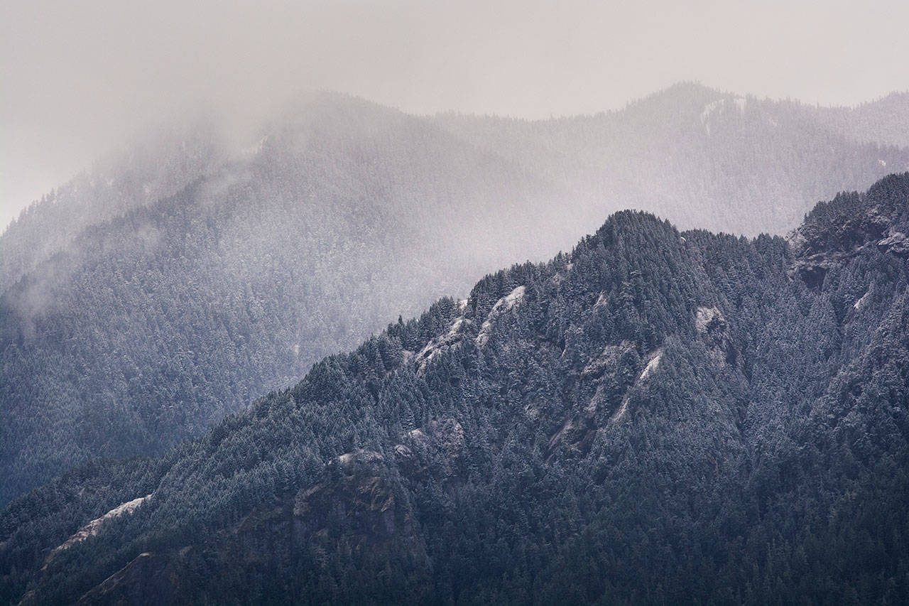
The North Olympic Peninsula got its first taste of winter as snow began to fall Sunday morning and the National Weather Service issued a winter weather advisory.
The snow started Sunday morning in some locations and the National Weather Service was predicting snow accumulations of 1 to 4 inches across the North Olympic Peninsula going into Monday afternoon with the higher accumulations in the Olympic foothills.
Areas included in the winter weather advisory are Port Townsend, Sequim, Port Angeles, Clallam Bay, Joyce and Sekiu.
The winter weather advisory is in effect through 1 p.m. Monday.
Sequim School District announced Sunday evening that it will be closed Monday with no kindergarten or preschool due to the weather. All after-school activities are canceled, and the Sequim School Board meeting is rescheduled for Tuesday at 6 p.m.
The National Weather Service said the North Olympic Peninsula along the north slopes of the Olympics will take the brunt of the storm while other areas around Western Washington will see less snow.
NWS Meteorologist Samantha Borth said Sunday that the Port Angeles area had seen sustained winds of 16 mph and gusts of 26 mph with stronger winds in the Strait of Juan de Fuca.
If you come across snow on the road, slow down and give yourself a bit of extra room from surrounding vehicles. #WAwx pic.twitter.com/0XznB0Mi4u
— NWS Seattle (@NWSSeattle) February 3, 2019
“We’re expecting an increase of westerly winds,” she said.
Snow is expected to continue Monday morning across the Olympic Peninsula before transitioning into strong winds.
“Take it slow or stay off the roads once you see some accumulations,” Borth said.
She said the cold weather is expected to stick around for a few days with the lows in the mid- to low-20s for Monday through Wednesday in the coastal areas.
State Patrol spokesperson Chelsea Hodgson said on Twitter late Sunday afternoon that there were at least three wrecks on U.S. Highway 101 at Mount Walker in Jefferson County. They were reported as one-vehicle spin-outs.
No other wrecks had been reported on the North Olympic Peninsula by Sunday afternoon.
Hodgson urged people to slow down and stay alert.
“As the temperatures drop into the evening, those wet and slushy roadways can turn to ice,” she said, posting photos of snow accumulating along state Highway 104 in Jefferson County.
Borth said the next snow event could come later in the week.
Forecasters are looking at the possibility of snow around Thursday, though it’s far too early to predict any accumulation, she said.
“Thursday and Friday are too far away to speculate any accumulation,” she said. “Locations and accumulations we’re not sure of yet.”

