
When planning a garden, the climate, defined as the weather conditions averaged over a relatively long period of time, tells an important story. Yet, climate is only the beginning of the story, it is understanding microclimates that creates a happy ending.
Microclimates are smaller areas within a climate zone closer to the surface of the earth where growing conditions can differ from the expected, sometimes dramatically. Microclimates are shaped by interacting influences such as topography, soil, structures, water and vegetation. These in turn influence factors such as solar radiation, heat, humidity and wind.
These smaller areas can sometimes be quite large, like the side of a mountain (the familiar “rain shadow” effect) or truly small like the south side of a wall.
The USDA Hardiness Zones system, commonly displayed on retail plant tags, only considers the cold tolerance of a plant. More regional climate information, such as that found in the “Sunset Western Garden Book” uses a wider range of factors in defining climate zones including winter minimums, summer highs, elevation, rainfall, humidity, aridity and growing season.
The lower elevations of Clallam County are in USDA Zone 8, but most would agree there is a difference between the growing climate in Forks and Sequim. Differing rainfall amounts, frost dates and solar radiation are just three of the microclimate differences.
Evaluate your garden, ideally for a year, and note the unique microclimate conditions. While not foolproof, it should guide the what, where and how of planning your garden.
First notice the solar orientation, in the Northwestern Hemisphere, south facing mountains, slopes or surfaces will absorb more heat. Map the sun path and shade patterns. The sunny south exposures on your property will be the warmest. This is the spot for the vegetable garden and sun loving plants.
Proximity to water can affect microclimate. Large bodies of water have a moderating effect on the adjacent land, usually making them a little warmer in the winter and a little cooler in the summer. This is true of the Strait of Juan de Fuca.
The same water bodies may create higher and more frequent winds. Note the prevailing wind direction as well as areas protected by a house, hedge or trees. Some air movement is essential but excessive wind can cause a host of problems from excessive cooling, desiccation (drying) and physical damage.
A sloped area or depression may cause a low spot or valley which allows cold air to sink. “Cold sinks” collect and hold cold air. If your yard, or portions of your yard, are within a cold sink, extra care to protect against possible frost is important. This is an area that you would avoid planting marginally hardy zone 8 plants.
Low areas may also have poor drainage. Look for areas of pooling water after a period of heavy rain. There are not many plants that can tolerate poor drainage.
Knowing the average rainfall and how it is dispersed throughout the year is as important for protecting some plants from excessive winter moisture, as it is for determining supplemental summer water needs.
Find reliable rainfall totals online from a station as close to your property as possible.
Soil that is chronically too wet, dry, hot, cool, sandy, overworked, or compacted, will create an environment inhospitable to most plants. Luckily, soil is a microclimate feature often easily improved.
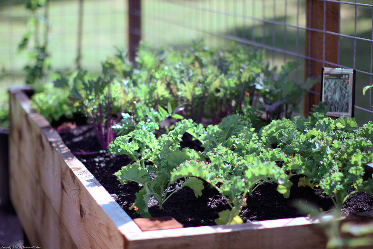
Evaluate the structure and texture of the soil in all planting areas. Note if it is coarse, clay, sandy, or loamy. Amending the soil or using raised beds and/or containers is an excellent solution to poor soil.
Once the nuances of microclimate are understood, the information can be used to plan a successful garden. Keep reading for next week’s column, “Heat Up Your Garden,” about manipulating your microclimate.
Susan Kalmar is a Clallam County Master Gardener.
