
The summer after we moved to Sequim 25 years ago I had locals, unprompted, showing me how to judge from looking at the mountains whether there would be water shortages later or not.
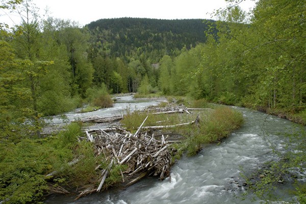
They were talking about whether irrigators would need to skimp or salmon would need to be hauled up the Dungeness River in water trucks like they had a few years back.
According to one neighbor, if the snow in certain crevices forming an “X” still was visible on Blue Mountain on the Fourth of July, all would be right. There also was a heart-shaped snowfield near the top of Baldy on Greywolf Ridge that everyone hoped wouldn’t melt out until at least August.
I loved learning these kernels of local wisdom and was deeply impressed by how closely connected this community was with its surroundings. People living here knew from direct experience the importance of water stored in snowpack, released as meltwater mid-summer when fish and farmers need it most. Of course, at the time I was a recently pedigreed water geek and people knew I’d be interested — and they were right! They were talking my talk, walking my walk. Like the old-timers, I have watched our mountains for signs of coming times ever since.
This morning as I looked south and up I noticed dark, rocky margins showing through the snow on the ridge and wondered how much the snowpack had been reduced by our recent rain and warmer temperatures. Turns out quite a bit: The depth of snow at 4,000-foot elevation went down by a third in the past week, from 18 to 12 inches. I am glad to report that this sounds worse than it is — but you get to learn a little science to understand why.
When it comes to predicting summer water supplies, the amount that ends up in our streams and aquifers depends on many factors and snow depth isn’t a particularly useful measure.
More important are the amount of water stored in snow (its density) and the compression and texture of the snowpack.
Winter rainfall totals aren’t especially useful for predicting summer conditions, either, since most runoff from large storms ends up in the strait. On the other hand, plenty of rain in the wet season saturates our soil and recharges the water table, ponds, and eventually the deeper aquifers.
It just so happens that data used to predict water supplies is available with the click of a mouse. The Natural Resource Conservation Service, a division of the USDA, installed high-tech measuring devices in the upper elevations of the Olympics, including one in the Dungeness watershed.
These “snowpack telemetry” (SNOTEL) devices automatically transmit hourly readings of precipitation as well as snow depth and the amount of water in that snow, its “snow water equivalent.”
This time of year, looking up a website is simpler than looking for signs and symbols in cloud-covered mountains. Here’s what you’ll find: While the snow depth was reduced by a third in the past week, the snow water only dropped by 25 percent.
Plus, the Olympic range overall is tracking exactly on par with the 1981-2010 median for mid-February.
Finally, this winter’s above-average rainfall so far (14.5 inches since Oct. 1) means our groundwater system should be very nicely charged up and springs should flow well into summer.
Up on those high ridgetops visible from Sequim snow certainly will continue to swirl, pile up, compress, thaw — and repeat. We have a very different scene compared to a year ago, when snow disappeared as quickly as it came and by late February all signs pointed to a dire summer water shortages.
Early predictions for a repeat of last year’s El Niño haven’t been quite right so far. For me, I will be checking our SNOTEL — and hope to see those snowy hearts and crosses at least until August.
Geek Moment
Current snow depth in the upper Dungeness basin on Feb. 18 = 12 inches
Water-equivalent of this snowpack = 5.3 inches
(Snowpack telemetry data from Dungeness SNOTEL site, elev. 4,010 ft.)
Cumulative rainfall in Sequim for the water year (starting Oct. 1) = 14.5 inches
(Monitored daily at the Sequim Water Reclamation Facility off Schmuck Road)
Ann Soule is a licensed hydrogeologist working on water quality and quantity concerns in the Dungeness watershed since 1990. She now works for the City of Sequim. Reach her at columnists@sequimgazette.com.
