Forest Service issues plan for 30 miles of roads in Olympic National Forest
Published 1:30 am Wednesday, June 12, 2019
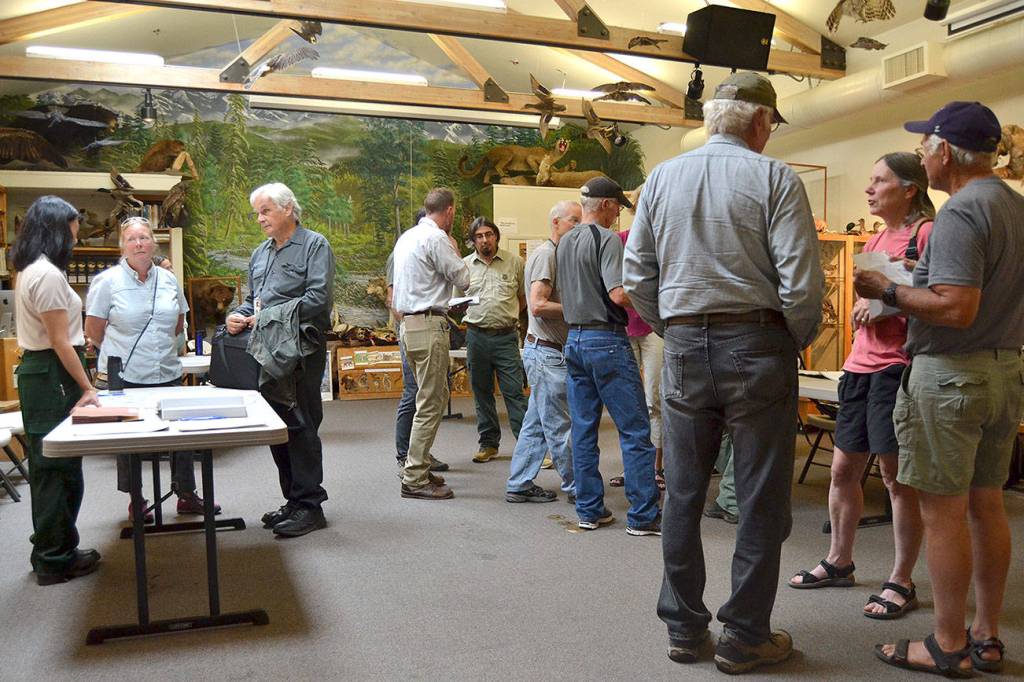
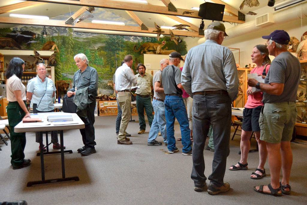
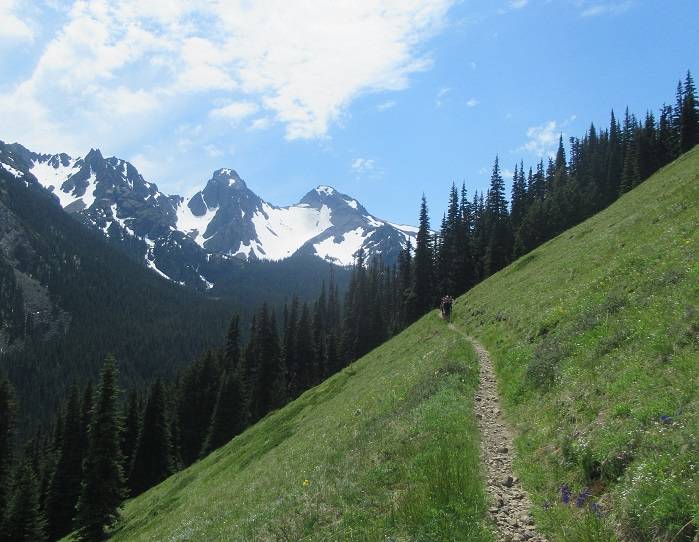


Hikers and backpackers may be in for a longer walk on some trails south of Sequim following the completion of the U.S. Forest Service’s environmental assessment of the Dungeness Watershed Roads Management Project.
Yewah Lau, district ranger for the Hood Canal district, announced in late May plans to improve some roads, decommission others and relocate some trailheads and their parking areas in the Olympic National Forest. Overall, more than 30 miles of road will be impacted in some capacity.
Lau said recreation access was a concern for her.
“I considered the trade-offs between creating additional non-motorized and dispersed recreation opportunities against the convenience of the existing motorized access,” she wrote in her decision letter.
“Overall, non-motorized access on converted, closed or decommissioned roads would generally offer gentler terrain to travel across.”
Lau added that the longer distance for added trails “is still reasonable to meet the purpose and need of this project.
“In light of continued declining budgets and limited staff, I face difficult decisions and seek creative solutions to both care for the land provide opportunities for the public,” Lau wrote.
Further input
Objections to the plan are accepted through July 8, or 45 days from its May 24 publication in the Peninsula Daily News.
Electronic objections can be submitted online at https://www.fs.usda.gov/project/?project=49643 and by clicking on the “Comment/Object on Project” link on the right side of the page. Put “OBJECTION” and the project name in the subject line.
Objections can also be submitted via mail to: Forest Supervisor Reta Laford, 1835 Black Lake Blvd. SW, Olympia, WA 98512, and by fax to 360-956-2330.
For more information, contact Dana Butler at danabutler@fs.fed.us or 360-956-2280, or Kim Crider kcrider@fs.fed.us or 360-956-2376.
What’s next?
Forest Service staff said funding likely won’t be available for the project until 2020, so work likely won’t begin until then. Lau chose Alternative A from three options, including a no-action plan.
Lau said Plan A includes the following:
• Treat and put into storage about 20.7 miles of open forest roads
• Decommission about 10.4 miles of open forest roads, leaving a path for access on foot where feasible
• Decommission 1.4 miles of roads previously available to vehicles at NFS Road 2870000
• Convert 1.4 miles of existing previously vehicle accessible roadway to trail at NFS Road 2870230
• Relocate and improve two trailheads and associated parking areas. Those include moving the Gold Creek trailhead to make more room for stock trailers and vehicles due to suspected geologic instability issues in the area, and expanding the Tubal Cain trailhead for stock trailers and vehicle parking, too.
• Retain year-round access on NFS Road 2870270
• Place boulders on NFS Road 2870270 on the south side, near the end, milepost 1.6 to focus parking and better define the trailhead to protect Taylor’s Checkerspot butterfly habitat
• Place boulders or a berm adjacent to a roadside pullout area (milepost 11.3) along NFS Road 287000 to protect habitat while still providing space for parking off to the side of the road and walk-in access to a dispersed campsite
In total, Plan A makes about 1,542 acres of forest stands inaccessible by vehicle.
Lau said she took all of the public input to heart including a public input session last August in the Dungeness River Audubon Center.
“I considered what changes to road segments in the project would provide the greatest benefit to watershed health, how to make progress towards aligning our road maintenance costs with out current funding levels, and which road segments (particularly in Adaptive Management Area allocations) are in a condition that could be used for future forest restoration opportunities,” she wrote.
Another priority for her was protecting and managing the Taylor’s Checkerspot butterfly. The butterfly was first seen here in 2007 and placed under the Endangered Species Act in 2013.
The effort for this project grew from the 2016 Dungeness Watershed Roads Management project as a multi-part effort to save in maintenance, increase water quality and protect spawning fish and endangered butterflies in the Dungeness Watershed, Forest Service staff said.
They say most of their roads are older than 30 years and deferred maintenance has increased the cost to repair them at an estimated cost of around $50 million.
However, Forest Service road budgets continue to decline after 20 years and staff estimating the annual maintenance budget to keep 1,413 miles of current roads open is about $3.4 million including administration costs.
Bill Shelmerdine, a U.S. Forest Service forest engineer, previously said decommissioning just one road could cost at least $60,000 to remove aging culverts while closing off access to vehicles.
Reach Matthew Nash at mnash@sequimgazette.com.

Best of Olympic Peninsula