
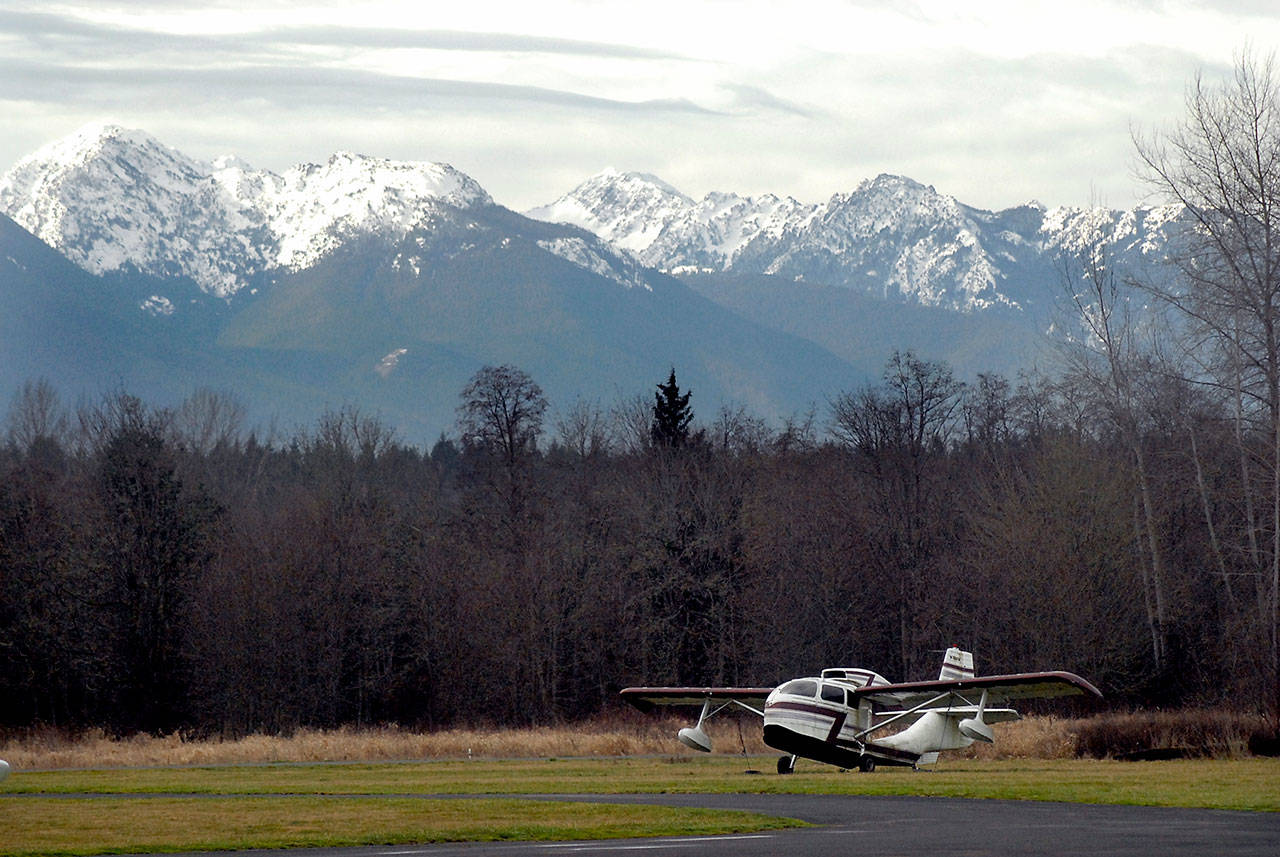
Heavy precipitation in January has bolstered a once-diminutive Olympic Mountain snowpack.
Snowpack was 120 percent of normal in the Olympics as of Thursday, Jan. 30 — up from 48 percent on New Year’s Day, according to the U.S. Department of Agriculture.
“We saw an amazing amount of snow in the month of January,” said Scott Pattee, water supply specialist with the USDA’s Natural Resources Conservation Service in Mount Vernon.
“It was way more than anybody forecast.”
Snowpack provides a reservoir of water for people and fish in the dry summer and early fall. It is measured as snow water equivalent at three remote sensors in the Olympics and compared to a 30-year average.
The basin average for Jan. 30 was healthier than any other region in the state. Snowpack in the 11 other basins ranged from 84 percent (upper Yakima) to 109 percent (Walla Walla) of normal.
Olympic Mountain snowpack was just 16 percent of normal Dec. 1 and 33 percent of the average for Dec. 15.
“We made an amazing catch-up,” Pattee said. “The big punch of the story is now we need to keep it.”
April 1 is generally considered the peak of the snowpack and a good indicator of water resources for subsequent months.
Last year, Olympic snowpack was 75 percent of normal April 1. Water customers in the Clallam County Public Utility District and city of Port Angeles were asked to conserve water amid low streamflows last summer and fall.
While the Port Angeles area received about a foot-and-a-half of snow Jan. 14-15, most of the January precipitation fell as rain in the North Olympic Peninsula lowlands.
The Quillayute Airport near Forks had 24.5 inches of precipitation from Jan. 1 through Thursday, the National Weather Service said.
The average January rainfall for the Quillayute Airport is 14.5 inches.
“It’s going to go up quite a bit more in the next couple days,” said Art Gaebel, a meteorologist with the National Weather Service in Seattle.
A flood watch was in effect for the North Olympic Peninsula lowlands through Sunday morning.
University of Washington atmospheric sciences Professor Cliff Mass published a blog about the “swamp” in Western Washington.
“After incessant rain, grass is like mush, water is ponding and accumulating everywhere, landslides have started, the rivers are flooding, and the aroma of wetness is everywhere,” Mass wrote.
“A little over a month ago, some folks were talking about a progressive drought for our region. The drought talk has ended.”
The Olympic Discovery Trail is closed for mudslides and other storm damage between the Ennis Street trailhead and Morse Creek trestle east of Port Angeles.
As of Jan. 30, snowpack was 180 percent of normal at the 4,010-foot Snotel site in the upper Dungeness basin, according to USDA data.
Snowpack was 114 percent at the 5,010-foot Waterhole sensor near Hurricane Ridge and 114 percent at the 3,960-foot Mount Crag site in east Jefferson County.
The 4,870-foot Buckinghorse sensor in the upper Elwha basin is too new to be used in the 30-year average. Medians and averages are calculated for the period between 1981 and 2010.
The National Weather Service Climate Prediction Center forecast probabilities of cooler-than-normal temperatures and drier-than-normal precipitation for the next two weeks.
Olympic National Park reported 91 inches — or 7 1/2 feet — of snow at Hurricane Ridge as of 8:30 a.m. Jan. 30.
Hurricane Ridge Road is closed Monday through Thursday and open Friday through Sunday when the weather allows. All vehicles are required to carry chains beyond the Heart O the Hills entrance stations.
For road and weather conditions in Olympic National Park, call the park hotline at 360-565-3131 or check
